 Hocking HillsWhere all the best roads lead . . .HIKE. STAY. PLAY. YOUR HOCKING HILLS ADVENTURE BEGINS HERE!
![]()

 Hocking HillsWhere all the best roads lead . . .HIKE. STAY. PLAY. YOUR HOCKING HILLS ADVENTURE BEGINS HERE!
![]()

Hocking State Forest 17741 Hockman Road Rockbridge, OH 43149 | GPS Tracking: (39.473326, -82.555351)
For those who like old roads less traveled, the hike to Airplane Rock at Hocking State Forest is a true treat away from the crowds, if for no other reason, most of the online "guides" start the path at an iffy one-car pull-off where hikers must cross Pine Creek with a knee-deep muck bank before heading at a sharp incline uphill. Most hikers turn around disapointed after a few steps into the route because they cannot continue the path. The better route is legally parking at the Airplane Rock parking area along Hockman Road (39.473426, -82.555390). Hockman Road is off Big Pine Road not far from the Conkle's Hollow hiking area.
Airplane Rock is a stone outcropping offering a beautiful vista view. The hike is along an old, gravel service road with forest on either side. The parking is limited. Hikers heading to Airplane Rock will find the trailhead at the end of the parking area; it is part of the Buckeye Trail. It follows an old roadbed and at 0.3 miles into the hike, the Buckeye Trail turns left with its blue blazes (part of the orange bridle trail is this direction also). However, hikers heading to Airplane Rock will continue on the road to the right and follow the road and orange bridle trail blazes between beautiful hemlock forests. There is a sharp veer along the road with a wooden outhouse, horse tie-offs, and after, an easily visible sign marking the short side trail to Airplane Rock. The trail is 1.8 miles, one-way with up and down hills.
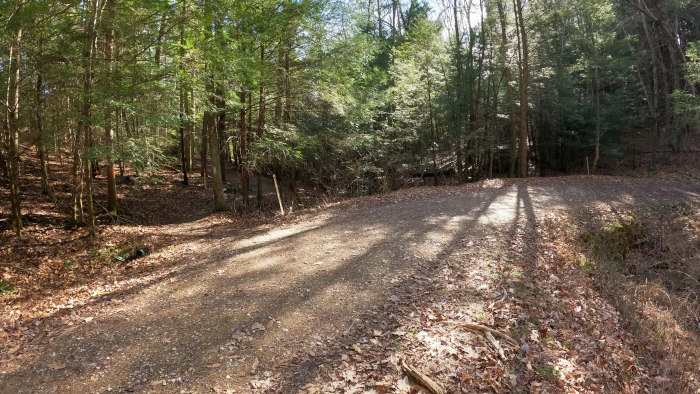
Hikers heading to Airplane Rock continue on the road here instead of turning left to follow the Buckeye Trail, following the orange blazes right along the bridle trail. (They also turn left, but hikers will continue to the right)
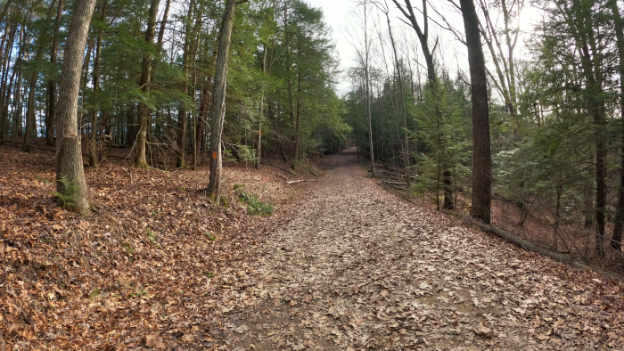
Orange blazes along the path.
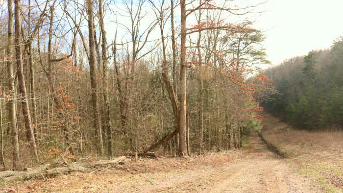
Tucked between preserves and hemlock forest.
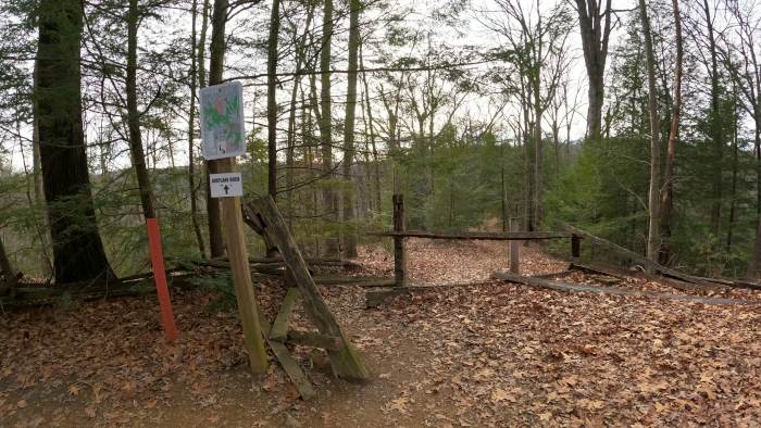
The sign marking the short trail to Airplane Rock. Not recommeded for children because of the steep cliff!
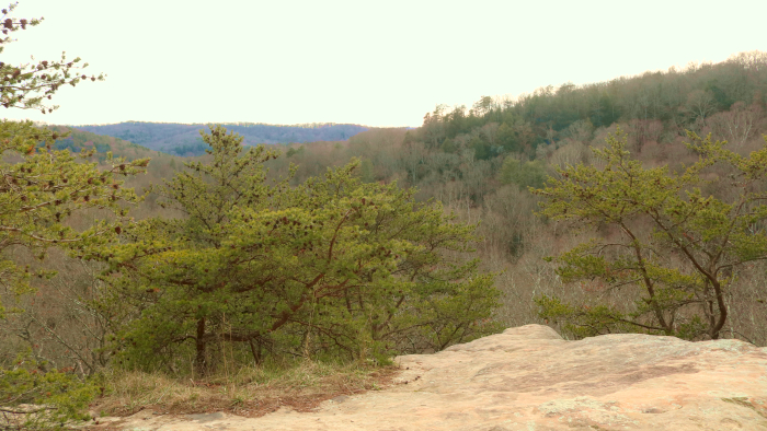
Standing atop Airplane Rock in the Hocking Hills.

A view from the side of Airplane Rock.
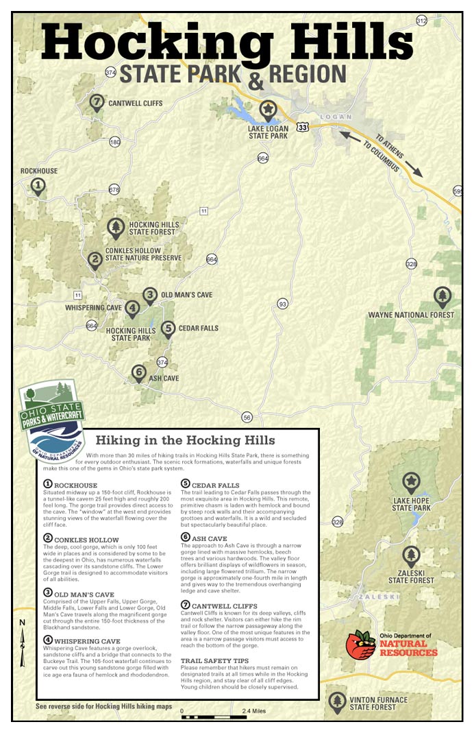
7 different hiking areas of Hocking Hills State Park- Ash Cave, Old Man's Cave, Rock House, Conkle's Hollow, Cedar Falls, Cantwell Cliffs, and Whispering Cave.
Find this hidden gem in the heart of the Hocking Hills and not far from Conkle's Hollow.


There are seven major hiking areas in Hocking Hills State Park - All are one-way trail systems.
Ash Cave, Old Man's Cave, Rock House, Conkle's Hollow, Cedar Falls, Cantwell Cliffs, and Whispering Cave Trail. These park areas offer a unique experience for those who walk its paths no matter what season (the park is open year-round from dawn to dusk)—located on the southern edge of Hocking County. But those are just a handful. There are many hiking trails in the Hocking Hills include those at Wayne National Forest, Clear Creek Metro Parks, Lake Hope State Park, Vinton County Park District's Moonville Tunnel, and Hocking College's Robbins Crossing (with park programs) and the Athens Hock-Hocking Adena Rail Trail bikeway.